Key Points:
- MethaneSAT, a $88 million satellite, is set to launch to combat methane emissions globally and will provide detailed data on methane hotspots.
- The satellite’s high resolution enables it to scan large areas while pinpointing emitters, offering unique capabilities in methane monitoring.
- Governments and industries worldwide are increasingly committed to methane reduction targets aligning with MethaneSAT’s launch.
- The satellite’s data, available to the public, is expected to drive awareness and encourage actionable measures against methane emissions.
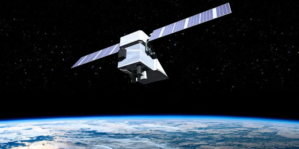
In a groundbreaking effort to tackle methane emissions and combat global warming, the MethaneSAT satellite is set to launch as early as March 4th from the Vandenberg Space Force Base in California. Developed at around $88 million by a coalition of environmentalists, scientists, and aerospace engineers, MethaneSAT aims to provide an unprecedented view of methane hotspots on Earth, particularly from oil and gas fields, agricultural facilities, and landfills.
MethaneSAT, developed in collaboration with Google, will use an atmospheric model to trace methane in the air back to its sources on the ground, making this valuable data freely available. Google also plans to leverage artificial intelligence algorithms to map global oil and gas infrastructure, aiding in pinpointing pollution sources.
Methane is over 80 times more potent than carbon dioxide in trapping heat around Earth, contributing to approximately 30% of global warming since the Industrial Revolution. With a lifespan of around 12 years in the atmosphere, curbing methane emissions could have a significant short-term cooling effect on global temperatures.
Steven Hamburg, Chief Scientist at the Environmental Defense Fund (EDF), leading the satellite’s development, emphasizes that MethaneSAT will enable “radical transparency,” providing governments and businesses with unprecedented information about greenhouse gas emissions.
The satellite’s high resolution sets it apart from existing technologies, allowing it to scan wide areas of Earth while providing detailed measurements to identify large and small emitters. MethaneSAT’s capabilities position it in a unique space between commercial satellites and existing atmospheric measurement sensors.
The timing of MethaneSAT’s launch aligns with a global focus on methane emissions. The US Biden administration has recently finalized regulations to reduce methane emissions from the oil and gas sector by 80% by 2035. Governments and industries worldwide are increasingly committing to methane reduction targets.
While MethaneSAT is hailed for its phenomenal capabilities, some experts, like atmospheric scientist Róisín Commane at Columbia University, point out limitations such as the daily transmission capacity, which may miss certain scientific opportunities.
The critical question is whether the data provided by MethaneSAT will drive actionable change. Although the satellite operators don’t directly influence industries or governments, the public availability of methane emissions data is expected to create awareness and, hopefully, encourage impactful measures.


