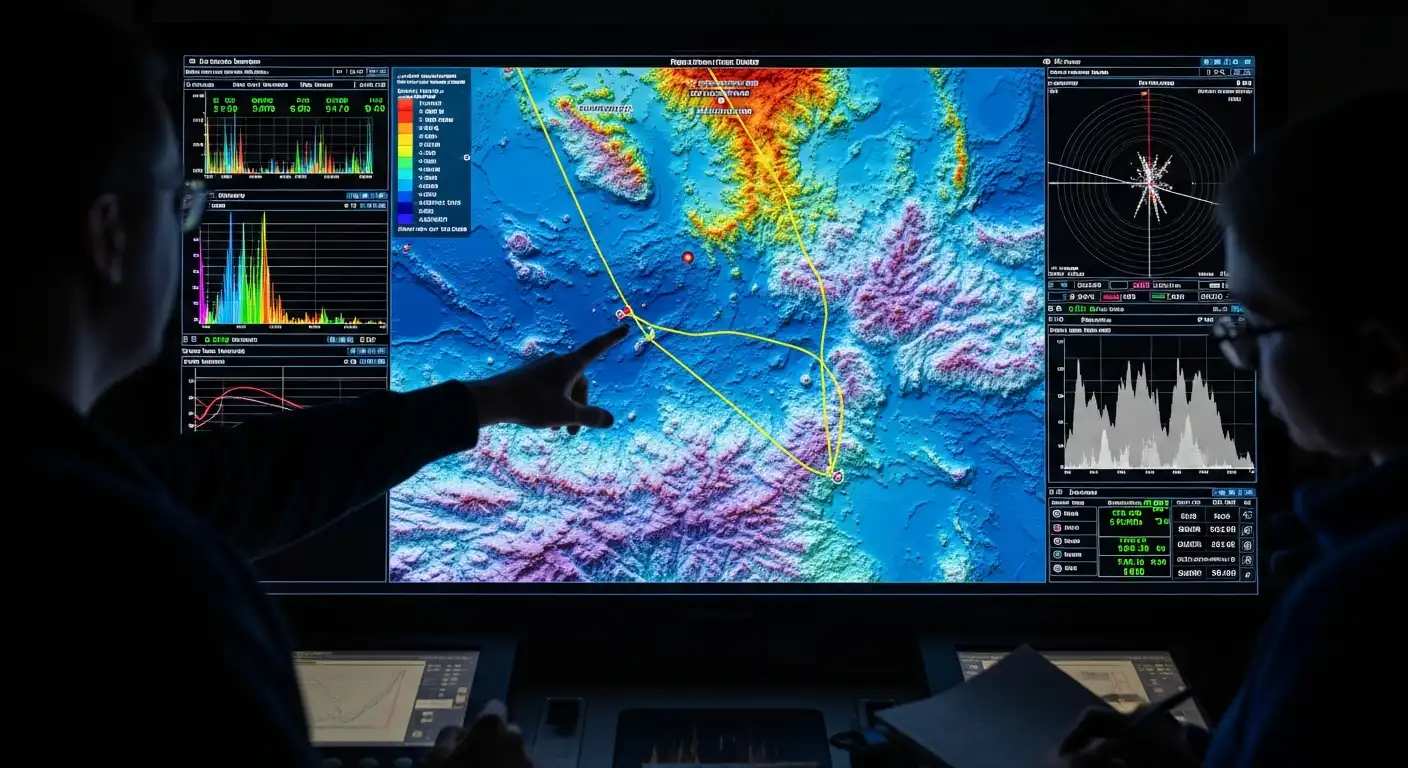
In the age of exploration, the wonders of our planet extend far beyond its terrestrial boundaries. While we’ve made significant strides in uncovering Earth’s surface, an entire realm remains shrouded in mystery: the seafloor. Seafloor mapping, a discipline that combines cutting-edge technology and scientific curiosity, has emerged as a vital tool for understanding the hidden landscapes beneath the waves. This article examines seafloor mapping, exploring its significance, the methodologies it employs, and the insights it provides into Earth’s submerged mysteries.
The Enigmatic Seafloor: A Frontier of Discovery
The surface of our oceans lies a vast, uncharted world encompassing nearly three-quarters of our planet. Although often out of sight and out of mind, the seafloor plays a crucial role in understanding Earth’s geology, ecosystems, and climate. Seafloor mapping is our window into this enigmatic realm, illuminating its diverse features and their significance.
Unveiling Geological Wonders
Seafloor mapping unveils a wealth of geological wonders that rival those on land. Beneath the waves, one can find underwater mountains, trenches, and volcanoes. Mapping these features helps scientists gain insights into Earth’s tectonic processes, crustal plate motion, and the formation of geological features.
This understanding is not just academic; it aids in predicting and mitigating geological hazards such as earthquakes and tsunamis. Seafloor mapping also assists in locating valuable mineral resources and potential sites for underwater infrastructure development, such as deep-sea mining operations.
Charting Ocean Basins
One of the fundamental aspects of seafloor mapping is the detailed charting of ocean basins. This involves measuring seafloor depths and creating bathymetric maps that illustrate the topography of the ocean floor. Accurate charts are vital for navigation, submarine cable routing, and the planning of marine conservation areas.
Moreover, precise mapping of ocean basins contributes to our understanding of sea level rise and the effects of climate change. As the Earth warms, accurate data on ocean depths becomes crucial for predicting coastal inundation and protecting vulnerable coastal communities.
Technology Unleashed: Seafloor Mapping Techniques
The advancement of technology has been instrumental in unlocking the mysteries of the seafloor. Modern seafloor mapping techniques employ state-of-the-art equipment and innovative methodologies to explore the ocean’s depths.
Multibeam Sonar Systems
Multibeam sonar systems are the workhorses of seafloor mapping. These systems emit sound waves in multiple directions and measure the time to the return of echoes. By analyzing these echoes, scientists can produce highly accurate bathymetric maps, revealing the seafloor contours in intricate detail.
Multibeam sonar systems have revolutionized our understanding of seafloor topography and have been instrumental in the discovery of previously unknown underwater features, including shipwrecks, deep-sea vents, and underwater canyons.
AUVs and ROVs (Underwater Vehicles)
Autonomous Underwater Vehicles (AUVs) and Remotely Operated Vehicles (ROVs) are robotic marvels that allow scientists to explore the seafloor in unprecedented ways. AUVs are autonomous, navigating independently and collecting data on seafloor topography, geology, and water column properties.
On the other hand, ROVs are remotely controlled by surface-based operators and are equipped with cameras, sampling tools, and instruments for scientific research. These vehicles enable scientists to reach extreme depths and conduct hands-on exploration, providing valuable insights into the seafloor’s composition, biology, and ecosystems.
Uncovering Environmental Insights
Seafloor mapping extends beyond theology and provides critical insights into the marine environment. By examining the seafloor composition, scientists can understand the distribution of marine habitats, biodiversity, and the impact of human activities on the ocean.
Habitat Mapping
Seafloor mapping helps identify and characterize essential marine habitats, including coral reefs, kelp forests, and deep-sea ecosystems. Understanding these habitats is crucial for conservation efforts, as it enables the establishment of marine protected areas and sustainable resource management practices.
Detecting Pollution and Marine Debris
Seafloor mapping can identify areas contaminated by pollutants, litter, and marine debris. By pinpointing these locations, researchers and environmental agencies can take action to mitigate pollution sources and protect vulnerable ecosystems.
Conclusion
Seafloor mapping is a dynamic field that continues to unlock Earth’s submerged mysteries, offering profound insights into our planet’s geology, climate, and marine life. Through the marriage of cutting-edge technology and scientific inquiry, we are unraveling the secrets of the ocean’s depths, with far-reaching implications for navigation, resource management, and environmental conservation.
As technology evolves and our understanding deepens, seafloor mapping will remain an essential tool in our quest to unravel the mysteries of our planet’s last great frontier. It will remind us of the boundless wonders beneath our oceans’ surface.


