

Key Points:
- A massive, once-in-five-years winter low-pressure system is bearing down on the Western Australian coastline, creating a rare risk of tornadoes.
- The Bureau of Meteorology issued warnings spanning from Kalbarri to Israelite Bay, placing Perth and major southern towns on high alert.
- Meteorologists warn that the storm will generate powerful ocean swells peaking at an effective wave height of up to 8 meters on Monday.
- State emergency services urged residents to secure loose outdoor items and prepare their properties before the damaging winds arrive.
A massive, unusually intense winter low-pressure system is rapidly approaching the coast of Western Australia, bringing damaging to locally destructive winds, severe thunderstorms, torrential rain, and a rare tornado threat. Weather authorities have warned that this is a rare storm, seen only once every four or five years. The Bureau of Meteorology (BoM) issued active severe weather warnings on Saturday, May 30, 2026, stretching thousands of kilometers from Kalbarri—a coastal town famous for its 800 species of blooming wildflowers—down to Israelite Bay in the southeast, placing major cities like Perth, Mandurah, Bunbury, and Margaret River directly in the firing line.
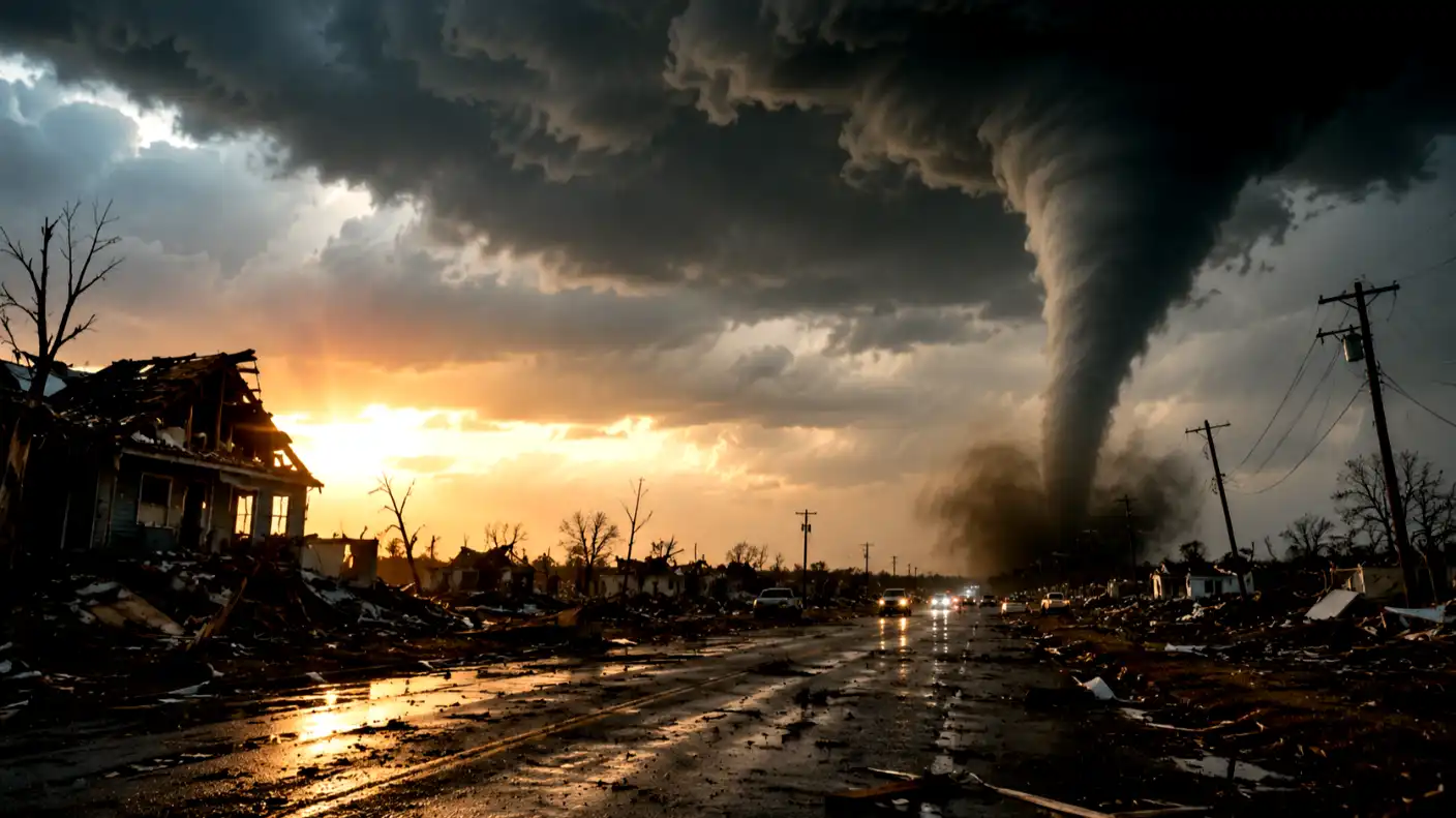
Advanced meteorological forecasting technology has allowed researchers to track this intense low-pressure system as it moves across the Indian Ocean. Bureau of Meteorology senior meteorologist Sarah Scully warned that localities across the state’s south face the rare, volatile danger of localized tornadoes. She explained that the Western Australia tornado risk will develop on Saturday afternoon and persist through until Sunday morning, just ahead of the advancing cold trough line. She cautioned that any tornadoes that do form will be highly short-lived and exceptionally difficult to track, urging residents to shelter indoors.
Forecasters expect rain to steadily increase across Saturday morning, spreading southwards and reaching the Perth metropolitan area around lunchtime. However, the most severe, punishing winds will kick in during the afternoon, accompanied by intense thunder and lightning. Climatologists warn that these extreme weather patterns are becoming more frequent, estimating a 1.5% increase in winter storm intensity over the past decade due to rising Indian Ocean surface temperatures.
Beyond the landward winds, the storm’s massive energy is generating dangerous, highly powerful ocean waves. The Bureau expects swell heights to peak in the early hours of Monday, reaching effective wave heights of up to 8 meters. When these massive 8-meter waves coincide with seasonal high tides, the risk of severe coastal erosion and flooding will spike. Authorities have warned boaters, surfers, and coastal residents to avoid the water and stay away from low-lying beaches completely.
Interestingly, while Western Australia experiences this dangerous, stormy weekend, the eastern half of the country is enjoying relatively mild and pleasant weather. Senior meteorologist Jonathan How noted that clear skies are finally arriving on the East Coast, bringing welcome sunshine to residents in Brisbane, Newcastle, and Sydney. This geographical divide highlights the continental scale of Australia’s weather systems, where one state battles an extreme winter storm while others enjoy mild, sunny autumn days.
To minimize the risk to lives and property, the Department of Fire and Emergency Services (DFES) has launched an urgent community mobilization campaign. DFES Assistant Commissioner Paul Carr urged residents to prepare their homes before the severe winds kick in proactively. He asked the community to tie down loose outdoor items—such as trampolines, wheelie bins, patio furniture, and temporary structures—to prevent them from becoming airborne missiles. He also advised residents to make minor property repairs and trim overhead tree branches that could damage roofs or power lines.
The financial stakes of these coastal storms are incredibly high for local governments and insurance providers. Over the past five years, extreme winter storms have cost Western Australia’s infrastructure, agricultural, and utility sectors over $1.2 billion in cumulative repairs and emergency responses, and regional local governments over $1.2 billion in cumulative infrastructure repairs. Shuttering power grids, clearing fallen trees, and rebuilding eroded coastal barriers place an immense fiscal strain on regional councils. To mitigate these recurring costs, urban planners are turning to smart grid technologies and eco-engineered coastal barriers to build long-term structural resilience.
As the cold front prepares to sweep across the state over the weekend, residents must remain highly vigilant and monitor official updates from Emergency WA. While advanced meteorological forecasting has successfully provided early warnings, the storm’s physical power cannot be ignored. By taking immediate, proactive steps to secure their properties, staying indoors during peak wind conditions, and avoiding flooded waterways, the people of Western Australia can protect their families and navigate the state’s most intense winter storm in years.