

Key Points:
- A powerful magnitude 7.4 earthquake struck off the coast of Chiapas, Mexico, at a shallow depth of 10 kilometers.
- The tremor shook buildings and prompted evacuations across Guatemala, El Salvador, and as far away as Mexico City.
- The Pacific Tsunami Warning Center issued a 300-kilometer alert, warning of waves up to one meter above tide levels.
- Preliminary government assessments in Mexico and Guatemala confirm zero structural deaths or major casualties.
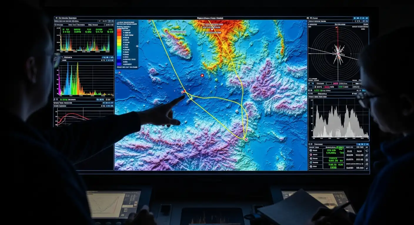
A powerful offshore seismic event has shaken southern Mexico and Central America, triggering urgent coastal evacuations and raising tsunami alarms across a wide stretch of the Pacific coastline. The Chiapas Coast Earthquake 2026 registered an initial magnitude of 7.4, sending intense tremors through multiple countries. While the violent shaking forced thousands of residents to flee homes, schools, and office buildings in panic, emergency response teams quickly mobilized to assess the structural integrity of vital infrastructure and monitor real-time ocean wave data.
The major earthquake struck at a shallow depth of approximately 10 kilometers, heavily amplifying the intensity of the shaking felt in nearby land areas. Seismological networks located the epicenter near the Mexican coastal town of Puerto Madero, approximately 48 kilometers southwest of Aquiles Serdán in the southern state of Chiapas. Because the rupture occurred so close to the surface, the physical energy propagated rapidly across the region, turning what could have been a moderate offshore tremor into a highly disruptive regional event.
The physical impact of the earthquake extended far beyond Mexico’s borders, demonstrating the immense power of subduction-zone seismic events. Residents in neighboring Guatemala experienced intense shaking, with high-rise buildings in Guatemala City swaying visibly and prompting emergency evacuations of government and commercial facilities. The tremors also rattled structures in El Salvador and parts of Honduras, while residents as far away as Mexico City, located hundreds of miles to the north, reported feeling distinct, low-frequency rolling motions.
The offshore nature of the powerful thrust-fault rupture prompted immediate marine safety interventions. The Pacific Tsunami Warning Center issued a formal tsunami threat warning for all coastal communities located within a 300-kilometer radius of the epicenter. Oceanographic models indicated that hazardous tsunami waves reaching up to one meter above normal tide levels were possible along the Pacific coastlines of both Mexico and Guatemala. Civil defense authorities in both nations immediately instructed coastal residents to move away from low-lying beaches and seek higher ground as a precautionary measure.
A complex sequence of tectonic movements characterized the entire seismic event. The main magnitude 7.4 rupture was preceded by a smaller, preparatory offshore tremor located slightly further out in the Pacific Ocean. Following the main shock, seismological sensors recorded a rapid succession of at least five significant aftershocks measuring between magnitude 5.1 and 6.0. This persistent aftershock activity represents a standard pattern for shallow-focus marine earthquakes, requiring rescue teams to remain highly cautious as they conduct safety inspections of compromised structures.
Despite the violent shaking and initial panic, preliminary damage assessments from Mexican municipal authorities have proved highly reassuring. Mexican President Claudia Sheinbaum announced that initial reports from the state civil defense departments of Chiapas, Tabasco, and Oaxaca showed no structural failures or major casualties in the immediate hours following the quake. While the shaking caused minor plaster cracks, shattered windows, and localized power outages, the region’s strict building codes, implemented after previous historic disasters, successfully prevented catastrophic structural collapses.
The situation across Central American nations also remained stable, with governments confirming zero initial fatalities. Guatemala’s President Bernardo Arevalo confirmed that emergency protocols functioned smoothly across all departments and that local authorities had not recorded any deaths or major injuries linked directly to the earthquake. In border towns like Suchiate, municipal leaders continued to monitor coastal water levels for any signs of anomalous wave activity while providing temporary shelter to families who had proactively evacuated low-lying river areas.
The major earthquake serves as a stark reminder of the highly dynamic tectonic environment of the Central American Pacific coast. Mexico sits squarely along the Pacific “Ring of Fire,” a horseshoe-shaped basin characterized by intense volcanic activity and frequent earthquakes. The region’s complex geology features the continuous subduction of the Cocos tectonic plate beneath the massive North American and Caribbean plates. This ongoing convergence averages a rate of roughly 50 to 70 millimeters per year, continuously building up massive elastic strain that eventually releases through powerful, shallow-focus earthquakes.
The successful management of the immediate post-earthquake crisis highlights the vital role of modern communication infrastructure and early warning systems. Within seconds of the initial rupture, automated seismic sensors triggered early warning sirens in major cities, giving residents precious seconds to evacuate buildings before the heavy shaking arrived. At the same time, mobile networks and satellite telemetry systems remained fully operational, allowing emergency managers to quickly transmit real-time tsunami warnings, aggregate damage reports, and coordinate rescue resources without experiencing systemic communication blackouts.
Ultimately, the successful management of the massive magnitude 7.4 earthquake demonstrates the life-saving value of strict building codes, automated warning systems, and proactive public safety protocols. While the sudden offshore rupture triggered widespread panic and a 300-kilometer tsunami threat across two nations, the lack of structural collapses and zero reported fatalities prove that prepared societies can withstand nature’s most violent movements. As seismologists continue to monitor the ongoing aftershock sequence, the resilience shown along the Chiapas coast stands as a vital template for disaster preparedness worldwide.